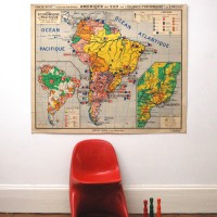


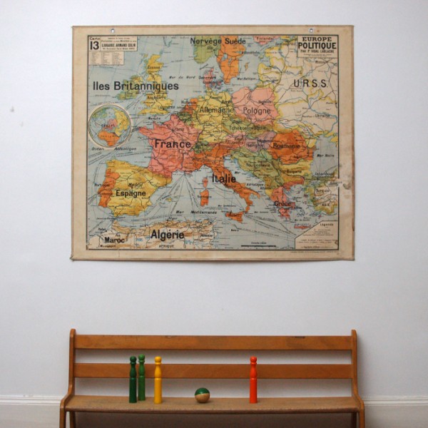
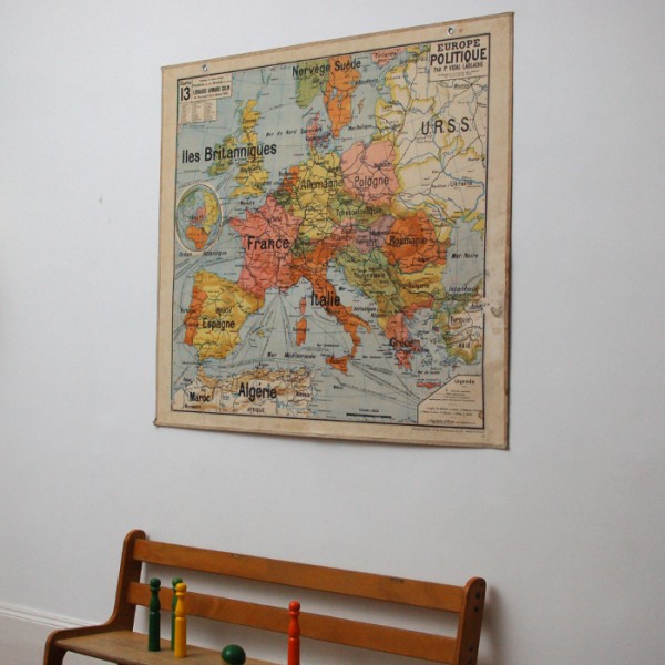
This school map is a very beautiful decoration object and a witness of our history !
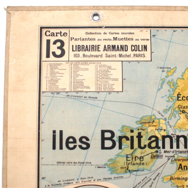
This nice map is part of a large collection initiated at the end of the 19th century by the
geograph Vidal Lablache for the library Armand Collin Ecole.
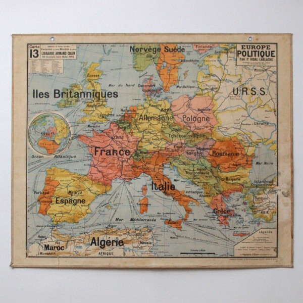
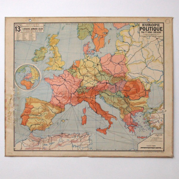
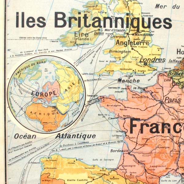
This map represents the politic Europe at the time of USSR and Yugoslavia. On one side
of the map are displayed the information and explanations, on the other side only the
map is shown.
Capital cities are underlined in black, and ports, railways, postal lines are also drawn.
It is in heavy cardboard and metal hook and eye allow for fixing it on the wall
Good general state except a wear mark at the bottom right.
Dimensions : width 120cm / height 99,5cm
Shipping France 19€90 / European Union + Switzerland 55€ (see Delivery Terms and Conditions).
Possible withdrawal at the workshop.
Shipping costs includes postal service supplement of 6€ for an oversized parcel and the realisation of a special packaging.