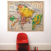


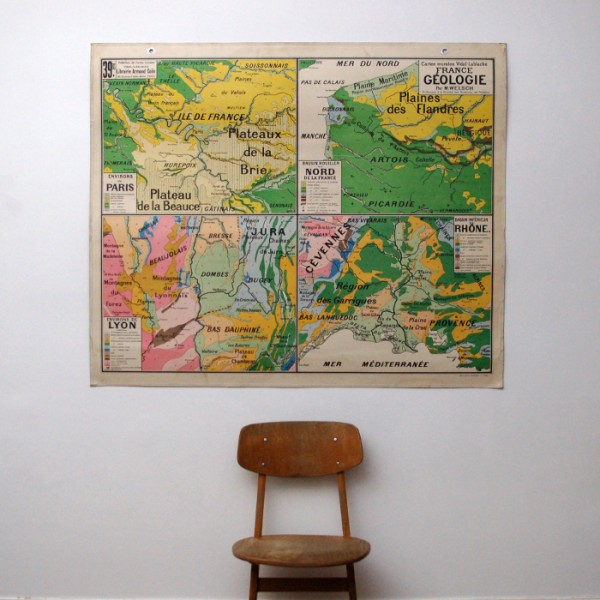
This beautiful school map is a nice decorative piece !
It is part of a wide collection, intiated at the end of the 19th century by a geograph,
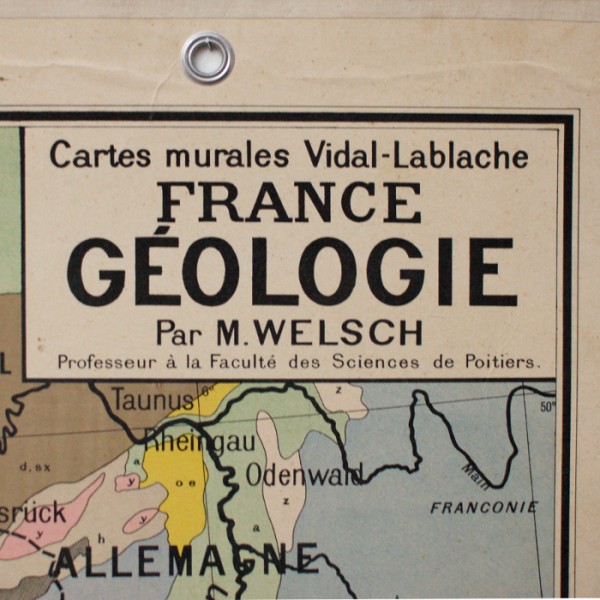
Vidal Lablache for the Library Armand Collin Ecole. This map has the number 39 and
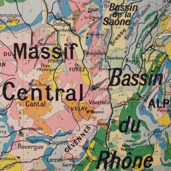
illustrates the geology of France. We can see the sedimentary basins, the ancient massifs,
the mountain ranges, all this in beautiful bright colours !! This map is in heavy cardboard.
The map has a white coton border and metal hook and eye allow for fixing it on the wall.
Normal wear marks, no humidity marks, no tears.
Dimensions : width 120cm / height 99,5cm
Shipping to France 19€90 / European Union + Switzerland 55€ (see Delivery Terms and Conditions).
Possible withdrawal at the workshop.
(The shipping costs include the supplement for oversized parcels and for a special packaging).